

Uh oh...
It appears that you're using a severely outdated version of Safari on Windows. Many features won't work correctly, and functionality can't be guaranteed. Please try viewing this website in Edge, Mozilla, Chrome, or another modern browser. Sorry for any inconvenience this may have caused!
Read More about this safari issue.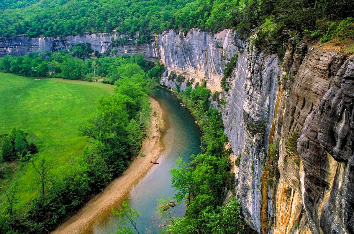

In 1972, the Buffalo National River was the first to be declared a national river. For 153 miles, the river flows through some of the most untouched areas of Arkansas and is one of the few remaining undammed rivers in the lower 48 states. Camping and paddling draw thousands of visitors each year but hiking the trails along the river as it winds through the Ozark Mountains will give you some of the best views and vantage points.
A vast network of hiking and equestrian trails meander through the 95,000 acres encompassing the Buffalo National River Park area. The park has three sections: the upper, middle, and lower districts. We’ve highlighted points in each section in our Guide to Hiking the Buffalo National River, found below.
Upper District
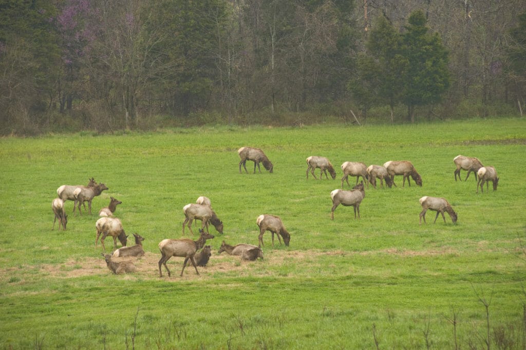
The upper district contains the Buffalo National River headwaters and some of the most rugged and remote terrain of the entire wilderness area. Boxley Valley, Ponca and Jasper are also among the most visited sites, thanks to the beautiful hiking trails and the opportunity to view the elk.
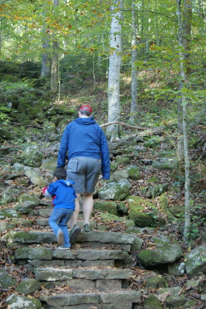
Photo by Julie Kohl.
Lost Valley Trail
Length: 2.4 Miles – Round Trip
Difficulty: Moderate
Kid-Friendly: Yes
Pets: No
Time to Complete: 2-3 hours
Points of Interest: Eden Falls, cave, creek
Trail Map
Beaver Jim Villines Homestead Trail
Length: Short
Difficulty: Easy
Kid-Friendly: Yes
Pets: Yes
Time to Complete: 15 minutes – 1 hour
Points of Interest: Historic Homestead
Trail Map
Buffalo River Trail
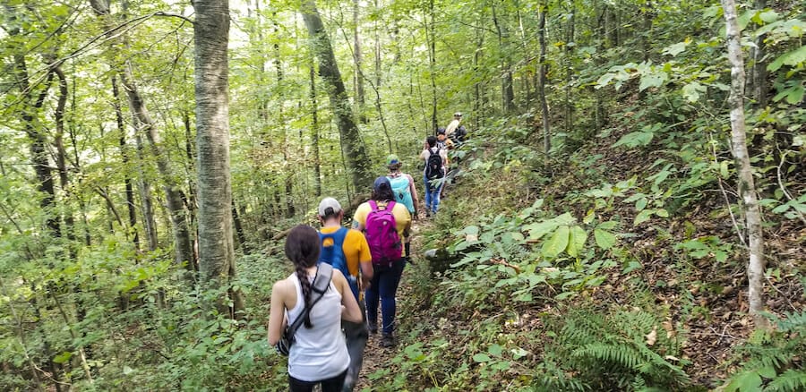
Length: 35+ miles of trails
Difficulty: Moderate to Strenuous
Kid-Friendly: No
Pets: No
Time to Complete: Varies
Points of Interest: There are seven trailheads located at Boxley, Ponca Low Water Bridge, Steel Creek, Kyle’s Landing, Erbie, Ozark, and Pruitt.
Trail Map
Cecil Cove Trail
Length: 7-mile loop
Difficulty: Moderate
Kid-Friendly: 5 and up with experience
Pets: No
Time to Complete: 5-8 hours
Points of Interest: historic homes, historic cemeteries, 500 ft. elevation climb
Trail Map
Warning: This trail has experienced frequent landslides in recent years.
Centerpoint Trail
Length: 6 miles round-trip from Chimney Rock to Big Bluff
Difficulty: Strenuous
Kid-Friendly: No
Pets: No
Time to Complete: 4-6 hours
Points of Interest: Big Bluff, Goat Trail, old wagon road, Connects with Chimney Rock Trail, Sneeds Creek Trail, Big Bluff Trail, Compton Loop Trail, and Hemmed-in Hollow Trail.
Trail Map
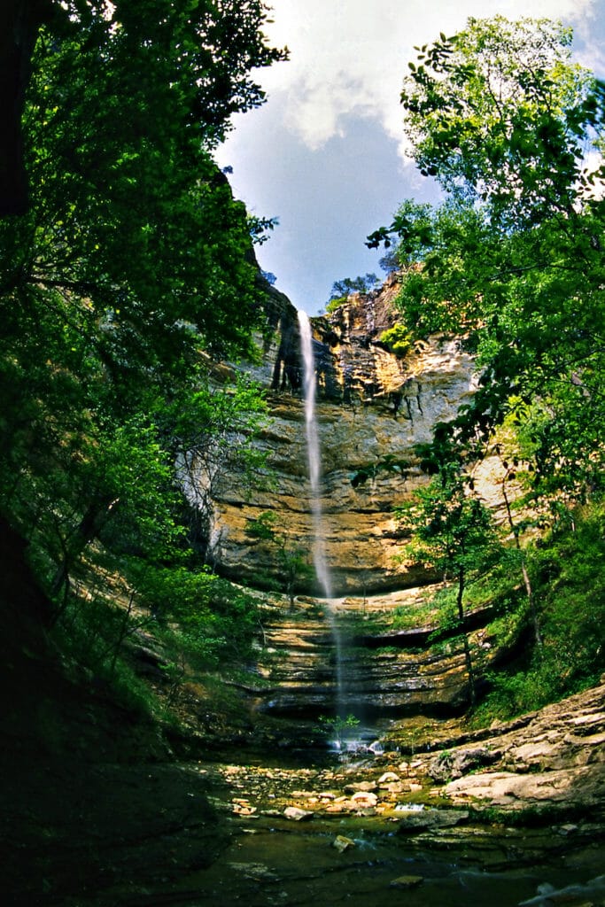
Hemmed–in Hollow Trail
Length: 2.5 miles
Difficulty: Strenuous
Kid-Friendly: No
Pets: No
Time to Complete: 4-6 hours
Points of Interest: 210 foot waterfall, 1400-foot elevation change
Trail Map
Hideout Hollow Trail
Length: 2 miles
Difficulty: Easy
Kid-Friendly: Yes
Pets: No
Time to Complete: 1-3 hours
Points of Interest: Historic “draft dodgers” shelter, waterfalls, box canyon
Trail Map
Middle District
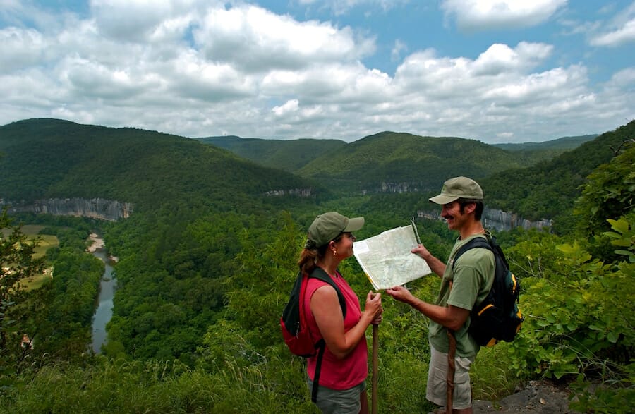
The middle district of the Buffalo encompasses areas from Western Gove (Mt. Hersey) to South Maumee near Morning Star and Lone Pine. This area of the Buffalo is most notable for floating and is also home to the Tyler Bend Visitors Center.
Shine Eye to Gilbert
Length: 3.7 miles point to point or 7.4 miles round-trip
Difficulty: Easy to Moderate
Kid-Friendly: 5 and up with experience
Pets: No
Time to Complete: 2-4 hours
Points of Interest: Follows the north side of the river, Gilbert General Store
Trail Map
Buffalo River Trail – Wollum to Tyler Bend to Dillard Ferry
Length: 42 miles
Difficulty: Moderate to Strenuous
Kid-Friendly: No
Pets: No
Time to Complete: Up to several days, plan 45-60 minutes for less strenuous miles
Points of Interest: Steep, narrow and rocky
Trail Map
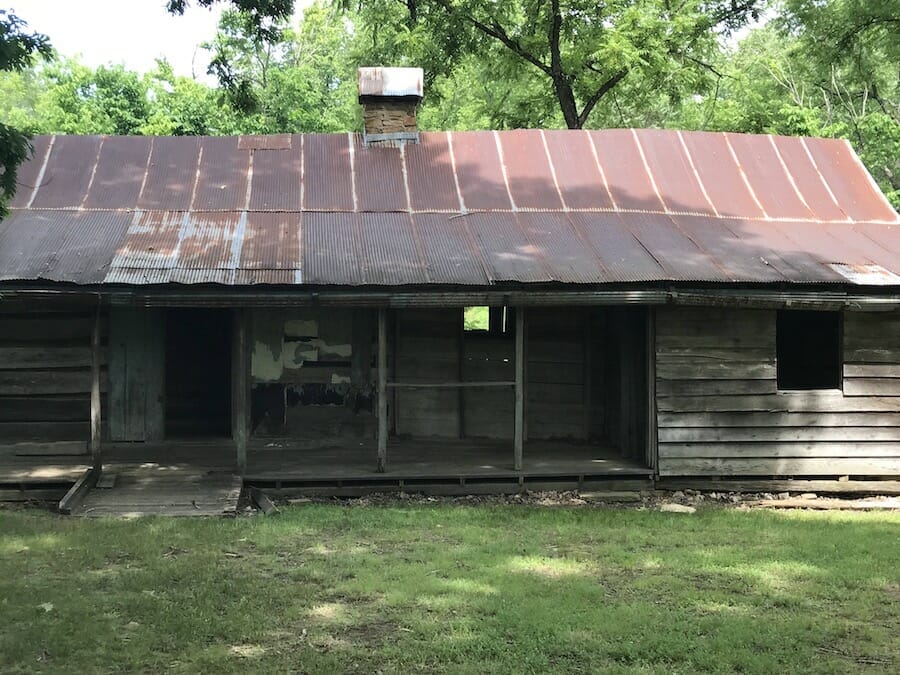
Photo by Julie Kohl.
Tyler Bend Trails – Riverview, Spring Hollow, Buck Ridge, and Rock Wall Trails
Length: 4.5 miles of intersecting trails
Difficulty: Easy to Moderate
Kid-Friendly: Yes
Pets: Yes, except for the Riverview Trail
Time to Complete: 1-4 hours depending on the selected trail
Points of Interest: Sod Collier Homestead, the confluence of Calf Creek and Buffalo National River
Trail Map
Old Railroad Trail
Length: 2.4 miles one way
Difficulty: Easy to Moderate
Kid-Friendly: Yes
Pets: No
Time to Complete: 3 hours
Points of Interest: old piers at the Red Bluff railroad crossing
Trail Map
Lower District
The lower district of the Buffalo runs from North Maumee to Buffalo City, where the river flows into the White River. The area is known for its calm waters and world-class trout fishing at Rush Landing and contains the park’s largest wilderness area.
Buffalo River Trail – Dillard’s Ferry to Spring Creek
Length: 6.2 miles, point to point
Difficulty:
Kid-Friendly:
Time to Complete: 3-4 hours
Points of Interest: Stairstep Bluffs
Trail Map
Buffalo Point Campground – Overlook Trail, Campground Trail, Forest Trail
Length: 3 miles, connecting and loop trails
Difficulty: Easy
Kid-Friendly: Yes
Pets: Yes
Time to Complete: 1-3 hours depending on the selected trail
Points of Interest: Historic cabin, sinkhole, cedar glade
Trail Map
Indian Rockhouse Trail
Length: 3.5 miles
Difficulty: Moderate
Kid-Friendly: 5 and up with experience
Pets: No
Time to Complete: 3-5 hours
Points of Interest: ancient shelter, geological formations, mine, waterfall
Trail Map
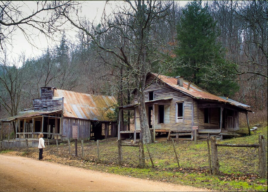
Rush Mine Level Trail and Morning Star Interpretive Loop
Length: .25 and 1.5 miles
Difficulty: Easy to Moderate (some steep terrain)
Kid-Friendly: Yes
Pets: No
Time to Complete: 1-4 hours
Points of Interest: Rush “Ghost Town” and historic mine
Trail Map
Tips for Hiking the Buffalo National River
- There is no fee to hike, but permits may be required for backcountry camping.
- The Buffalo National River ranks #13 out of 400 national parks for search and rescue operations. Always read the Preventative Search & Rescue tips before hiking, so you don’t become a statistic.
- Don’t select trails that are above your hiking ability.
- Always let someone know where you are hiking and when you plan to return.
- Bring more food and water than you think you will need.
- Be prepared for weather changes that can occur unexpectedly.
- Stay on the designated trail. Most rescue situations occur when people wander from the marked trails.
- Cell signal is spotty at best, so bring printed maps.
- Practice Leave No Trace.
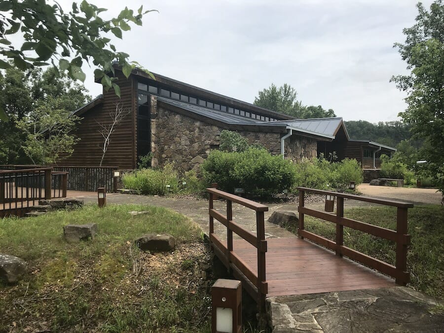
Photo by Julie Kohl.
General Park Information
- Buffalo River National Park website
- 870-439-2502
- Tyler Bend Visitor Center | 2322 Tyler Bend Rd | Marshall, AR
- Instagram – @buffalorivernps
- Facebook – Buffalo National River
- Twitter – @BuffaloNPS
Photos courtesy of Arkansas Parks, Heritage and Tourism unless otherwise noted.
Join the Conversation
Leave a Comment
4 responses to “Your Guide To Hiking the Buffalo National River”
 Leave a Reply
We do the work.
You check your email.
Sign up for our weekly e-news.
Get stories sent straight to your inbox!


 Leave a Reply
[…] now converted into a scenic trail, offers visitors a chance to walk in the footsteps of history. The trail meanders through picturesque landscapes, providing glimpses of the town’s railroad […]
[…] and even practice their navigation skills using a map and compass. Similarly, visiting the Buffalo National River can expose homeschoolers to geological formations, such as towering limestone bluffs, and the […]
[…] articles on OnlyinArk.com about the Buffalo National River, the only national river in the U.S. Your Guide to Hiking the Buffalo National River Kayaking the Flooded Buffalo River Celebrating 50 years of the Buffalo […]
[…] © Only In Arkansas […]