

Uh oh...
It appears that you're using a severely outdated version of Safari on Windows. Many features won't work correctly, and functionality can't be guaranteed. Please try viewing this website in Edge, Mozilla, Chrome, or another modern browser. Sorry for any inconvenience this may have caused!
Read More about this safari issue.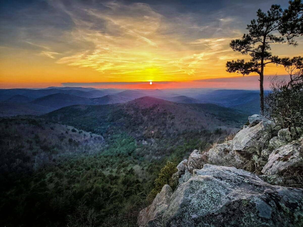

Arkansas is a state full of natural beauty, and part of that beauty comes from the wide range of landscapes found in the state. Arkansas is marked by six natural divisions that give the state its mountains, valleys, plains and other interesting features. The divisions are the Mississippi Alluvial Plain, Crowley’s Ridge, the Arkansas Valley, the West Gulf Coastal Plain, the Ozark Mountains and the Ouachita Mountains. Crowley’s Ridge and the Mississippi Alluvial Plain (Delta) make up the eastern half of the state, while the West Gulf Coastal Plain occupies most of Arkansas’s southern border. Arkansas’s mountains lie in the western half of the state, separated by the Arkansas River and Arkansas Valley.
Ozark Mountains
The Ozark Mountains are actually a series of high plateaus that run from southern Missouri through northern Arkansas and parts of northeast Oklahoma and southeast Kansas. The plateaus formed over 300 million years ago. Water has eroded parts of the plateaus to create deep valleys. The area is known for its beautiful forests, rugged landscape, and karst topography. It also goes by a series of names, including the Ozark Mountains, Ozark Highlands and Ozark Plateau.
Boston Mountains
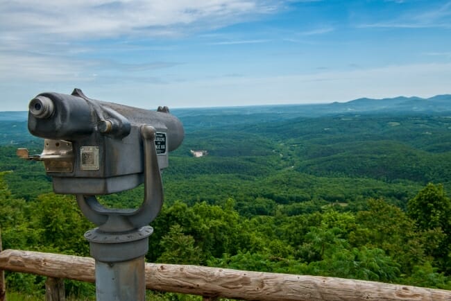
In Arkansas, the plateau is divided into three subregions, each with their own unique landscapes and forests. The Boston plateau, usually called the Boston Mountains, is the most southern of the series in Arkansas. The Boston Mountains are the highest in the Ozarks, with elevations regularly reaching over 2,000 feet, and some mountains climbing to nearly 2,600 feet. The mountains lie between the White River and the Arkansas River in a band only 35 miles wide but 200 miles long. These mountains are formed from two layers of sandstone, the first dating back to a prehistoric ocean that once covered the state. As the layers eroded, wind and water created the steep bluffs the region is known for.
The Boston Mountains support a large forest of mainly oak and hickory trees, though some mountain slopes contain short-leaf pine trees. The Ozark National Forest encompasses much of the region. The Boston Mountains remained a remote region longer than other parts of the state simply because of the difficulty of crossing them. Roads were rough, and much of the area was not farmable, which attracted fewer people. The original hillbillies of Arkansas called this area home, and were known for their individualism, which was as rugged as the mountains surrounding them.
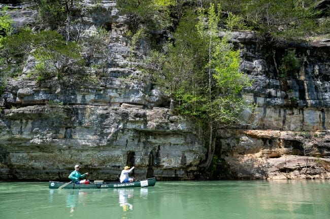
Newton County, AR – April 30: A two-day float and camp on the Buffalo National River in Newton County, AR on April 30, 2022. (Photo by Will Newton/ADPHT)
Springfield Plateau
The Springfield Plateau is north of the Boston Mountains, and here the Ozark Plateau shifts in landscape from rugged mountains to rolling hills interspersed with broad plains. This made travel much easier in the area, and much of Northwest Arkansas developed here. The Buffalo and White Rivers cut through this area, as well as other tributaries. The underlying limestone and chert, which is easily eroded, has allowed many caves to form. In an effort to control devastating flooding, the Army Corps of Engineers built many dams along the White River after the Flood Control Act of 1938, including Beaver Dam, Bull Shoals Dam, and Table Rock Dam. These dams altered the landscape, filling in the valleys, which sometimes required entire towns to move. The plateau is covered in hardwood forest, and much of the area has yielded to development as Northwest Arkansas continues to explode.
Salem Plateau
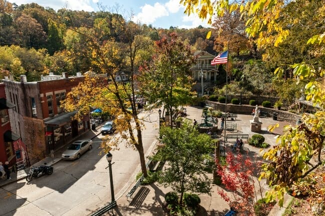
The final plateau in the Ozark Mountains is the Salem Plateau, the most northern part of the Ozarks in Arkansas. This plateau is characterized by rolling hills that sometimes drop into steep bluffs, especially around the Eureka Springs area. Unlike the Springfield Plateau, the Salem Plateau doesn’t contain large prairie lands, so it never developed for agriculture. Instead, grazing animals became popular. The damming of the White River also brought unexpected tourism to the area through Bull Shoals and Norfork Lakes. The tourist-driven towns of Eureka Springs, and Branson, farther north in Missouri, draw many visitors.
Some of the best ways to see the Ozark Mountains are by foot or canoe. The Ozark Highlands Trail runs through the Ozark National Forest and is perfect for viewing the breathtaking high bluffs. The Buffalo National River and White River offer opportunities for canoeing and floating. Finally, several scenic byways allow drivers to view the Ozark Mountains. The Ozark Highlands Scenic Byway crosses the Boston Mountains and Arkansas Scenic 7 Byway crosses the Ozark Mountains on its way south to the Ouachitas.
Ouachita Mountains
The Ouachita Mountains are Arkansas’s southern mountain range, which stands in stark contrast to the Ozark Mountains. The Ouachita Mountains run east to west in their ridgelines, unlike the larger mountain ranges in the U.S. Their east-west alignment produces an unusual feature with the south side of the mountains receiving more sunlight and less rain than the northern sides. The northern slopes of the Ouachitas are greener and cooler than the southern slopes and covered in hardwoods, while the south slopes have pine forests. This gives the Ouachitas a banded appearance when viewed from an airplane or through satellite imagery.
Fourche Mountains
Like the Ozarks, the Ouachita Mountains can be divided into three regions: the Fourche Mountains, the Central Ouachitas, and the Athens Plateau. The Fourche Mountains is the most northern section and includes portions of Little Rock. The long, uninterrupted ridges often cool the southern airflow over the mountains to produce fog, rain and clouds. The Fourche Mountains include the Ouachitas’ tallest peaks. Mount Magazine is 2,753 feet high, while the second tallest peak is Rich Mountain at 2,681 feet.
Central Ouachita Mountains
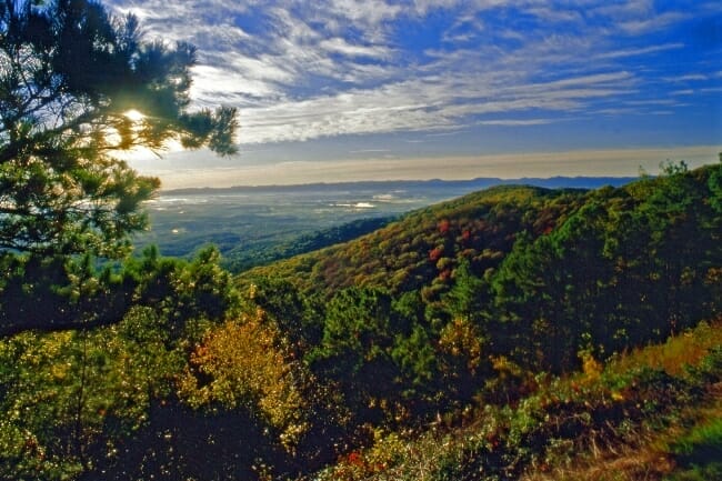
The Central Ouachita Mountains contain Hot Springs and Mena and make up much of the Ouachita National Forest. The mountains here still form long ridges, though not as long as the Fourche Mountains, and include significant amounts of crystals, formed by natural hot springs beneath the ground that seeped through the rocks. Hot Springs National Park features 47 of these natural springs. Oak and pine forests cover much of the area, making it perfect for hiking, biking, or exploring on ATVs. The Ouachita National Forest covers 1.8 million acres and offers beautiful views from the mountain peaks.
Athens Plateau
The Athens Plateau is the southern section of the Ouachita Mountains. Its elevation drops to less than 1,000 feet, although it maintains a series of ridges, like the rest of the mountain range. The plateau area is known for plentiful timber, and both pine and hardwood trees grow in abundance. The Athens Plateau also has the Cossatot River and the Little Missouri River. As these rivers cross the ridges, they create rapids and drops in elevation, making the rivers perfect for more skilled white water rafting and kayaking. The Army Corps of Engineers also built dams along the Ouachita River, which created Arkansas’s five Diamond Lakes: Lake Catherine, Lake DeGray, Lake Greeson, Lake Hamilton and Lake Ouachita.

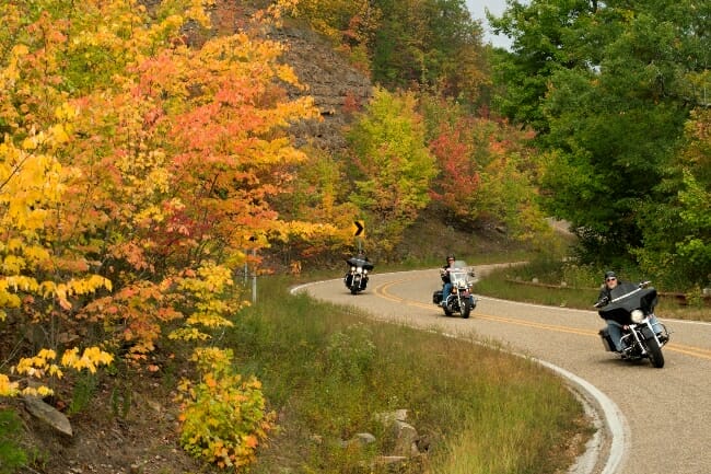
The Ouachitas are easily traveled by car, and the most famous way to see them is on the Talimena National Scenic Byway, which runs from Mena, Arkansas to Talihina, Oklahoma. Other scenic drives through the Ouachita Mountains include Scenic 7 Byway and Winona Scenic Drive near Jessieville.
Between the Ozarks and the Ouachitas, nearly half of Arkansas is covered in mountains, making it easy for residents and visitors alike to get out and explore some of the state’s most scenic places.
Photos courtesy of the Arkansas Department of Parks, Heritage and Tourism.
We do the work.
You check your email.
Sign up for our weekly e-news.
Get stories sent straight to your inbox!


Like this story? Read more from Kimberly Mitchell
Electric bikes are a growing phenomenon worldwide and in Arkansas....
If you’ve visited Beaver Lake via Highway 12 in Northwest Arkansas,...
Arkansas’s small towns are at the heart of what makes Arkansas so...
Join the Conversation
Leave a Comment