


Uh oh...
It appears that you're using a severely outdated version of Safari on Windows. Many features won't work correctly, and functionality can't be guaranteed. Please try viewing this website in Edge, Mozilla, Chrome, or another modern browser. Sorry for any inconvenience this may have caused!
Read More about this safari issue.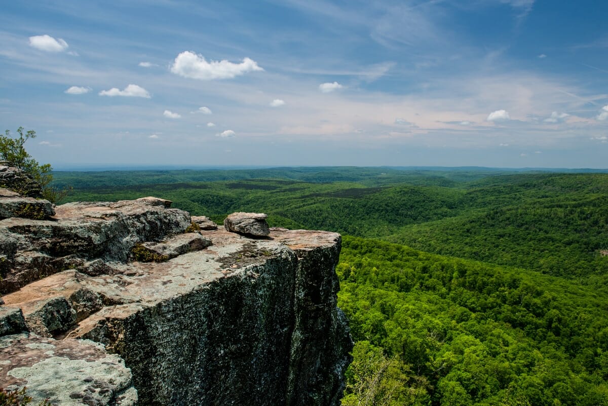

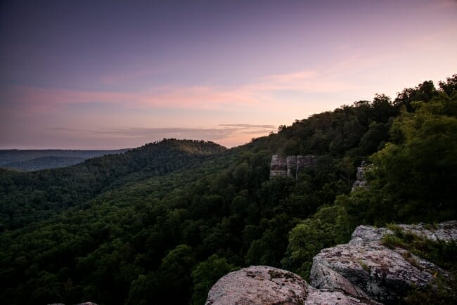
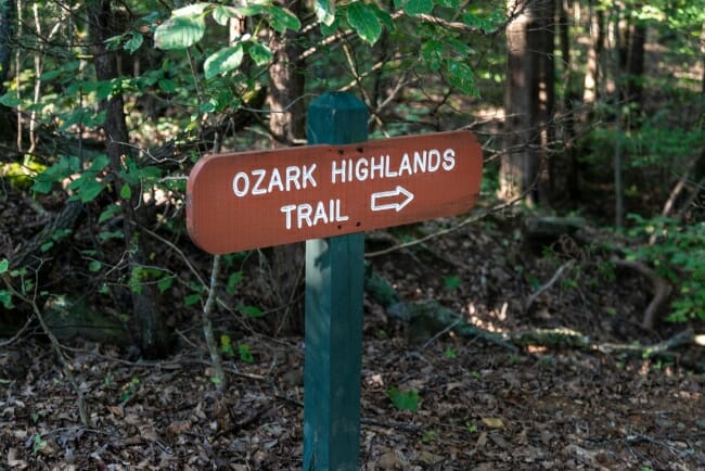
Hidden within the leafy foliage of the Ozark National Forest is one of the most scenic hiking trails in the country. The Ozark Highlands Trail is currently a 207-mile trail that offers hikers an intimate view of Arkansas’s forests and mountains.
The Ozark Highlands are located in the Ozark Mountains, which range from southwest of St. Louis, Missouri to the Arkansas River. The area is a series of three high plateaus covered in vegetation. Thousands of years of erosion have created high ridges and deep valleys, which make the Ozarks rugged and remote. Early travelers struggled to cross the Boston Plateau, usually called the Boston Mountains. For this reason, the area still remains somewhat sparsely populated today.
Ozark Highlands Trail Creation
The Ozark Highlands Trail (OHT) began in the 1970s as an initiative of the National Forest Service. The trail runs through the Ozark National Forest. Lack of funding stalled the program, but in 1981, a group of local volunteers took up the cause and created the Ozark Highlands Trail Association (OHTA). This non-profit organization is entirely volunteer-based and run by hiking enthusiasts in the Ozark Mountains.
The OHTA completed its first segment of trail in 1984, but the work continues today. The trail now ranges across 207 miles. It is completely forested, remote and a hiker’s paradise. The western end of the trail is at Lake Fort Smith State Park. This section ends 165 miles later near Woolum Ford and Campground on Richland Creek. The trail is marked by white aluminum rectangle markers fastened to trees along the trail. The trail is maintained entirely by volunteers, which means hikers might encounter areas of the trail that haven’t been cleared recently.
Another 43 miles of the OHT share a trail with the Buffalo River Trail from Richland Creek to Dillard’s Ferry along AR-14. Recently the OHTA has pioneered a trail near Sylamore. The 32-mile trail runs from Spring Creek Trailhead to Matney Knob Trailhead. It isn’t connected yet to the OHT, but in the future, the trail will connect to Missouri’s Ozark Trail and create 320 miles of continuous trail through the Ozarks.
What’s Along the Trail?
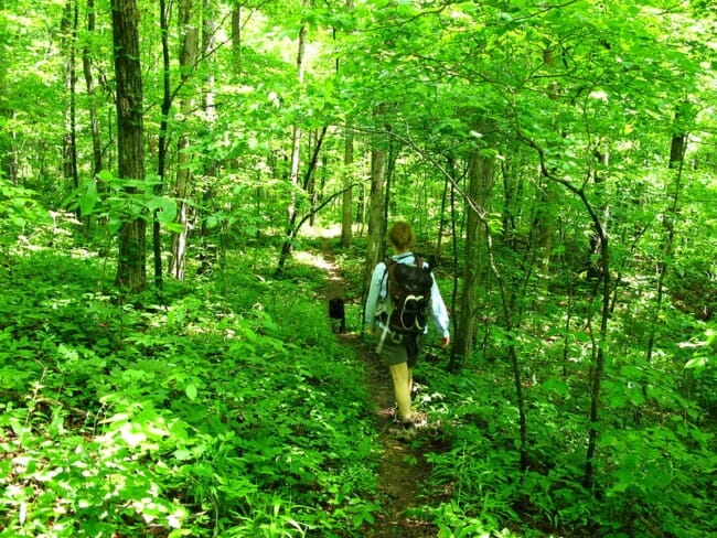
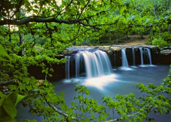
The OHT is secluded, and even though other hikers might be on the trail, you’ll typically only see a few, if any. The trail has plenty of wildlife as it cuts through the mainly-hardwood forest of oak, hickory and gum trees, interspersed with shortleaf pines. Woodpeckers, red-eyed vireos, buntings, and hooded warblers are some of the birds you’ll spy hiking the trail. Wild turkeys and red-tailed hawks are also common.
The Ozarks are also home to squirrels, raccoons, armadillos, possums and white-tailed deer. Coyotes and bobcats also range here, and black bears were reintroduced after being hunted into extinction. The black bear population is growing, but most hikers are unlikely to spot one. The most common area to see bears is along the White Rock Mountain area and the Horn Mountain area along the east end of the trail. The OHTA reports about a dozen bear sightings on the entire trail in a year. Snakes are also prevalent, including poisonous copperheads, water moccasins, and rattlesnakes. The OHTA has never had a poisonous snake bite incident reported in the history of the trail.
What’s Not on the Trail?
Hikers should take note of something that’s not along the trail: bathrooms. There are public campsites to be found in some locations, though. Lake Fort Smith State Park, White Rock Mountain, Fairview, and Woolum are just a few of the campgrounds with access to the OHT. However, since the trail is located in the Ozark National Forest, camping is permitted anywhere as long as it is at least 200 feet away from the trail or water source and out of sight. Campers are also not allowed to build fire rings, although they can use existing ones or build fires without a fire ring. Note that hikers are responsible for any fire damage that could be caused by a campfire that isn’t properly extinguished.
When Is The Best Time to Hike?
Although the Ozark Highlands Trail is open year-round, the best times to hike are generally in the fall and into winter. The trail is maintained by volunteers beginning in September until late fall, with occasional maintenance in the spring. The trail is not maintained in the summer, so hikers might encounter dense foliage and possible storm damage during this time of the year.
The Ozark Highlands Trail has become a popular fall and winter hike for intrepid hikers across the U.S. when more northern trails are closed during the winter months. While an avid hiker can hike the entire trail in one go, it’s no easy feat. There is no access to grocery stores in any nearby communities. According to the OHTA, resupply packages can be mailed to post offices at Ozone or Pelsor, or hikers can coordinate their own resupply with someone delivering food where the trail nears a roadway. Many hikers use water sources along the trail to resupply water. The OHTA encourages the use of water filters in these instances.
Although the trail can be hiked from end to end, many people enjoy hiking shorter sections. The trail offers many trailheads where hikers can jump on and off. Due to the valleys and ridges in the area, hiking can be somewhat strenuous. But for the most part, it’s accessible for most hikers. The best way to plan your route, whether you’re going for the entire trail, or a weekend jaunt, is to grab a copy of the “Ozark Highlands Trail Guide #7” by Tim Ernst. On its seventh edition, the guide includes mile-by-mile descriptions of all 207.6 miles of continuous trail plus the Sylamore Trail.
What Else Do I Need to Know?
The Ozark Highlands Trail is for hikers only. Bikes, ATVs and horses are not allowed. Dogs are allowed on portions of the trail but must be leashed at all times. Hikers are expected to follow common camping and hiking practices by carrying all trash in and out of the trail. Campers should store all food items and other scented items (toothpaste, lotion, etc.) in bear bags and not keep these items in tents. Also note that there are water crossings with no bridges, so hikers must ford streams and rivers. Pay attention to water levels. For the most recent updates on trail closures or other OHT announcements, visit ozarkhighlandstrail.com.

Like this story? Read more from Kimberly Mitchell
 0
0
Pro Women Athletes from Arkansas Find Success on the Court and the Field | Basketball and Soccer

Women’s professional sports are having their moment. TV coverage and...
 0
0
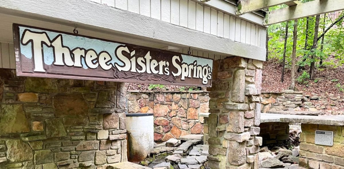
Three Sisters Springs Healing History
In 1875, a simple homestead became a source of healing, if only according...
 0
0
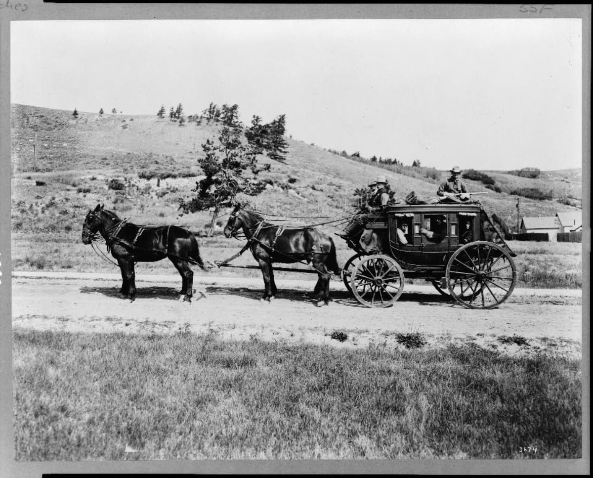
Stagecoach Robberies in Arkansas
The stagecoach is one of the most iconic representations of the Old West,...
Join the Conversation
Leave a Comment
6 responses to “The Ozark Highlands Trail”
 Leave a Reply
We do the work.
You check your email.
Sign up for our weekly e-news.
Get stories sent straight to your inbox!

[…] […]
[…] The Ozark Highlands Trail […]
[…] along the Ozark Highlands Trail near Cherry Bend, Murray Falls is a picturesque spot that truly shines in winter. The falls are […]
[…] Ozark Highlands Trail […]
[…] © Only In Arkansas […]
[…] For an authentic taste of his wild country, the Ozark National Forest offers scenic drives and hiking trails through the same rugged landscapes that once concealed Arkansas’s most elusive […]