
Uh oh...
It appears that you're using a severely outdated version of Safari on Windows. Many features won't work correctly, and functionality can't be guaranteed. Please try viewing this website in Edge, Mozilla, Chrome, or another modern browser. Sorry for any inconvenience this may have caused!
Read More about this safari issue.

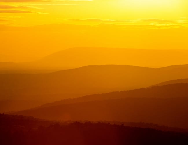
As fall colors continue to unfold, the western boundary of Arkansas is an excellent location for watching color, weekend drives and navigating scenic highways. Many of the towns along this route will be the first in Arkansas to experience the 2024 Total Solar Eclipse their communities have been preparing for several years.
Throughout history, this section of Arkansas carried a reputation as a place for outlaws and hunters and a few sasquatch sightings. But along the Highway 41/71 corridor, the Ozark Mountains meet the Ouachita National Forest, and nature explodes with wonder.

Visitors come to this section of Arkansas from Interstate 30 in the Southwest section of the state to the upper Northwest Arkansas corridor along Interstates 40 and 49. The railroad developed most of the Western section of Arkansas as Arthur Stilwell pushed the Kansas City, Pittsburg and Gulf Railroad, the precursor to the KCS Railroad, through to Arkansas, connecting Kansas City, Missouri, to Port Arthur, Texas.
The smaller towns that did not welcome the railroad changed their trajectory as open fields became the perfect spot to lay down tracks. The railroad connected Louisiana and Texas to Saint Louis and Kansas City. This critical section of rails was vital to expanding crop distribution, supplies, and a mail route that replaced much of the traffic on the Old Southwest Trail and the Butterfield Overland route.
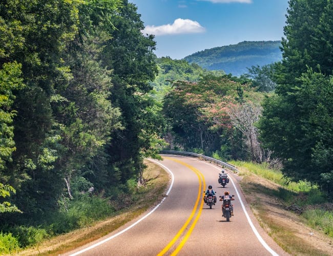
The small towns along the 41/71 corridor make great hometowns and easy weekend getaways from any part of the state. Fishermen and women love the tributaries along the scenic routes, and it is one of the best sections of the state for a fall day motorcycle ride or to follow a “brown sign” to a hidden treasure.

Foreman
As you cross over the Red River on Highway 41, the first town you discover is Foreman, home of the Gators and a new state-of-the-art high school, the heart of the community.
- Southerland’s Country Store – easy pit stop spot
- Gator Hut Shaved Ice – year-round snack shack and frozen delights
- New Rocky Comfort Museum – originally built as a jail in 1902, and the first inmate was the man who created it
- Little River fishing access – among the most extensive contiguous tracts of bottomland hardwoods anywhere in the U.S. Gulf Coastal Plain, but it is also home to the largest breeding area for alligators in Arkansas and 350-year-old bald cypress trees.
- Nacatoch Ravines Natural Area – part of a natural wildlife habitat protected by the Arkansas Game and Fish Commission
- Nearby Alleene is an easy side trip to the Will Reed Farm House childhood home of Chet Lauck, an original Lum and Abner radio show host.
De Queen
De Queen began as Hurrah City, a tent city for migrants and vagrants outside the growing town of Lockesburg. But, Arthur Stillwell and his Kansas City Southern Railroad, funded by Dutch entrepreneur Jan deGeoijen, changed everything when they chose the timber lines of eastern Sevier county to lay their new tracks. Today, De Queen is the Arkansas gateway to Hochatown and Broken Bow, Oklahoma, and the hub of Southwest Arkansas with a central location where 13 state parks are within two hours’ driving distance. Many fishing opportunities and access to 3 lakes make this a centralized spot for fun!
- Taco Capitol of Arkansas – per capita, the most authentic Mexican taco and street food vendors anywhere in the state
- Fort Towson Trail Marker – an arm of the Trail of Tears traversed through town for displaced Native Americans traveling to Fort Smith
- De Queen Lake and Bella Mine Park – over 1600 acres and a 32-mile shoreline known for beautiful fall foliage and crystal clear waters great for fishing bass, crappie, walleye and catfish
- Pine Ridge, Oak Grove and Bella Mine camping – operated by the U.S. Army Corp of Engineers with spots for tent camping and R.V.s
- Sevier County Museum – a must-see South Arkansas museum cataloging regional history, Caddo Indian artifacts, and designed space to honor county music singer Collin Raye
- Pond Creek National Wildlife Refuge – hunting, hiking, birdwatching, and primitive camping where the Central and Mississippi flyways overlap

Gillham
Gillham sits on the northern end of Sevier County and will host the longest totality in Arkansas for the 2024 Total Solar Eclipse.
- King School – built in 1915, one of the few surviving colonial revival-style railroad town schools. Each year, the Cossatot Arts Club hosts an annual art show and periodically a haunted house.
- Gillham Lake – formed by damming the Cossatot River in 1975, the lake has several swimming holes and camping spots
- Two historic spots, the Goff and Gamble Merchandise store built in 1910 and the 1914 single-cell cement jail, are right along the old rail lines.
- Diamond J Orchard and Ranch anchor the corridor in the middle of town as a fourth-generation homestead farm with a fruit stand in De Queen, Gillham and Hochatown, OK
- Cossatot Reefs is a quiet spot along the lake, great for picnics, sand volleyball, camping and skipping rocks.

Between Gillham and Mena are a few small towns with wide-open cattle fields and a handful of unique stops.
- Access to Little and Big Coon Creek recreational areas | Grannis
- Bogg Springs Camp | Wickes – a missionary Baptist camp and retreat center for more than 60 years
- Brushy Creek Recreational Area and Nature Trail | Wickes – a favorite swimming hole and nature hike in the Ouachita National Forest and part of the Cossatot River State Park.
- The Lighthouse Drive-In | Wickes – the perfect roadside dinner or river day treat with smoked meats, barbecue, fried appetizers, and 100 combinations of ice cream flavors.
- Coffee Vault | Cove – just north of town, do not miss this quaint coffee shop in a former bank building where you can sip your favorite brew inside the old cash vault.

Mena
Mena is a town known for its access to the Talimena Scenic Byway, and in the fall, it’s one of the most beautiful spots in Arkansas. But, Mena has a storied history they are rewriting with a new road bike trails system and ATV paths throughout the Ouachita National Forest lands. This Main Street Arkansas community is growing with nightlife opportunities and an artist community.
- Historic Train Depot – a historic Kansas City Southern trail line depot where active trains still rattle the windows daily
- The Ouachitas – a coffee shop, brewery, and homemade pizza joint anchors the entertainment district, often hosting live music and street festivals
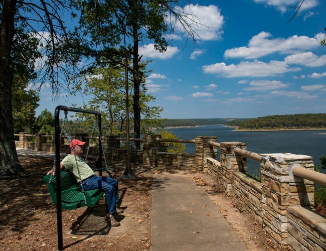
- Queen Wilhelmina State Park is the tippy top of the region. Home to black bears and fall colors, this is an excellent destination for quiet walks and sweeping views at any time of year.
- Wolf Pen Gap and Sugar Creek provide many adventures on ATV trails with ride-in and ride-out cabins and campsites.
- Janssen Park and Veterans Memorial Park are great for families needing to get the wiggles out or stop for a picnic lunch.
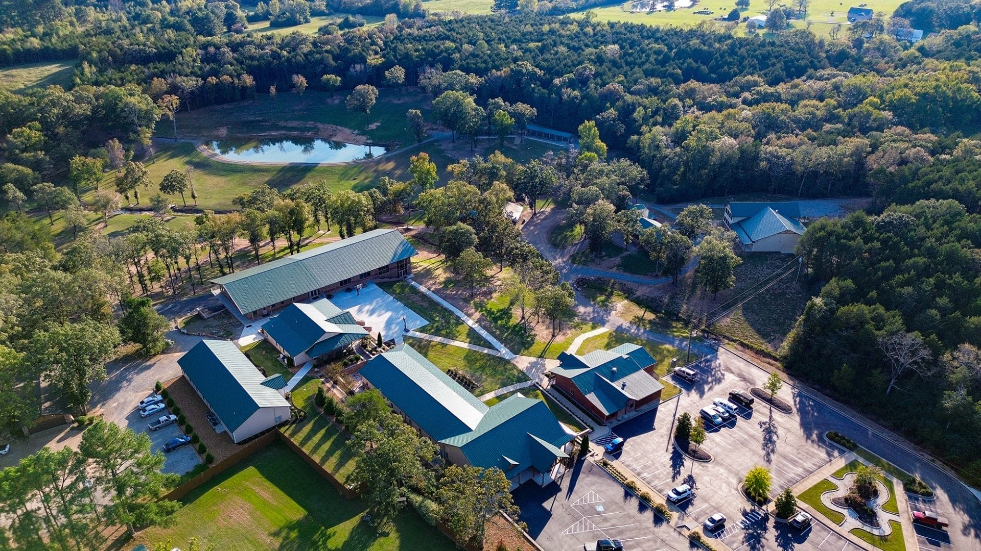
- CMA Iron Mountain Campground – Mena serves as the International Headquarters for the Christian Motorcycle Association, and this local campground is the perfect spot for cyclists traveling through.

Ouachita National Forest
The South’s oldest and largest National Forest covers 1.8 million acres, hugging the Arkansas and Oklahoma Borders. Expert Tip: This large trip section does not have cellphone service. So, it’s a great place to have an audiobook ready to listen to. However, planning an overnight camping trip or exploring the trails in the park is a great way to take advantage of the natural resources of the Western region of Arkansas.
Enjoy the view for the rest of the route along the 41/71 corridor. It’s the best part of taking a drive through the Natural state. Towns like Waldron, Mansfield and Greenwood offer snack breaks, a variety of restaurants and gas stations to enjoy, with a few flea markets sprinkled in. Listen to an Arkansas podcast, tackle a road trip activity with your passengers, or just roll down the window and breathe in the fresh air.
The western corridor rounds out at Fort Smith, where many adventures like the U.S., The Unexpected Mural Project, or Fort Chaffee History and Barbershop Museum give you plenty of places to snap pictures while you make memories.
Join the Conversation
Leave a Comment
One response to “Hwy 41/71: Western Arkansas Road Trip”
 Leave a Reply
We do the work.
You check your email.
Sign up for our weekly e-news.
Get stories sent straight to your inbox!


 Leave a Reply
[…] From Sevier County, which has the state’s highest Hispanic population, to Fort Smith and Northwest Arkansas, Hispanic families have introduced traditions, art and businesses that shape communities in meaningful ways. This 5-6 day road trip offers travelers a unique chance to celebrate Hispanic heritage while exploring scenic landscapes, small towns, and cultural treasures of Western Arkansas. […]